Precision Agriculture: Maximizing Crop Yields with Drone Technology
Explore how farmers are using drone mapping to optimize crop management and increase productivity.
Discover how orthomosaic mapping revolutionizes construction project monitoring, progress tracking, and site management. Learn about real-world applications, benefits, and implementation strategies for construction professionals.
In the rapidly evolving construction industry, project managers and site supervisors are constantly seeking innovative tools to enhance efficiency, reduce costs, and improve decision-making. Orthomosaic mapping has emerged as a game-changing technology that provides unprecedented insights into construction projects, from initial site surveys to final documentation.
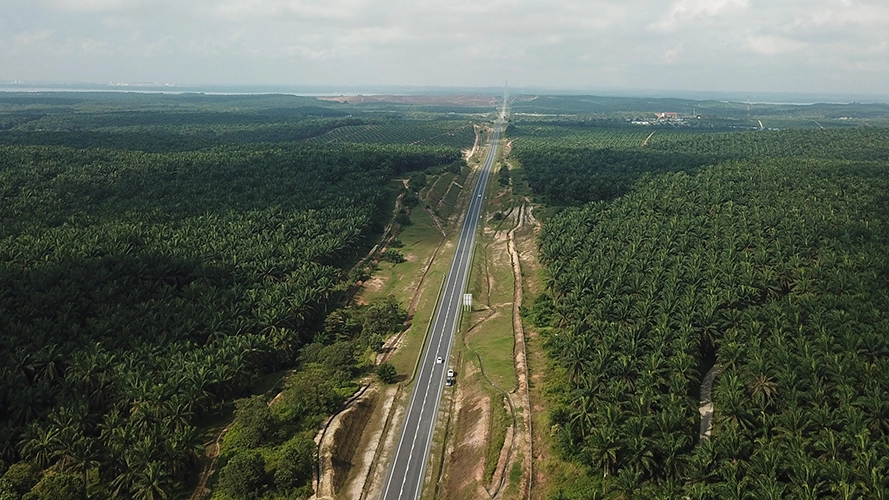
An orthomosaic map is a geometrically corrected aerial photograph that combines multiple overlapping images to create a single, seamless, and highly accurate representation of a construction site. Unlike traditional photography, orthomosaics maintain consistent scale throughout the image, making them ideal for precise measurements and detailed analysis.
Orthomosaic mapping involves capturing hundreds of high-resolution aerial images using drones equipped with professional-grade cameras. These images are then processed using advanced photogrammetry software to create a single, cohesive map that eliminates perspective distortions and provides uniform scale across the entire site.
Track construction progress with regular orthomosaic captures, comparing planned vs. actual progress. Identify delays, monitor material placement, and document work completion phases.
Accurately calculate earthwork volumes, material stockpiles, and cut/fill quantities. Essential for project costing, material ordering, and environmental compliance.
Create comprehensive project documentation for stakeholders, regulatory compliance, and insurance purposes. Generate professional reports with visual evidence of project milestones.
Monitor site safety conditions, identify potential hazards, and ensure compliance with safety protocols. Maintain security oversight of equipment and materials.
Verify construction quality against design specifications, identify deviations early, and ensure work meets project standards before issues become costly problems.
Provide clear, visual updates to clients, investors, and regulatory bodies. Enhance communication with intuitive, bird's-eye view perspectives of project status.
Orthomosaic mapping represents a fundamental shift in how construction projects are monitored, managed, and documented. By providing accurate, comprehensive, and cost-effective site intelligence, this technology empowers construction professionals to make better decisions, reduce risks, and deliver projects more efficiently.
As the construction industry continues to embrace digital transformation, orthomosaic mapping will become an essential tool for competitive advantage. Early adopters are already experiencing significant benefits in project efficiency, cost management, and stakeholder communication.
Discover how Dronify's orthomosaic mapping solutions can enhance your construction project management and deliver measurable results.
Get Started Today
Explore how farmers are using drone mapping to optimize crop management and increase productivity.

Understanding the technical requirements for achieving survey-grade accuracy in mapping projects.
Complete case study of highway expansion project from surveying to final documentation.