Project Portfolio
Excellence in Action
Explore our comprehensive collection of successful drone surveying projects across Malaysia. From precision mapping to infrastructure monitoring, discover how we deliver exceptional results with cutting-edge technology and professional expertise.
Trusted by Industry Leaders
We partner with leading organizations across Malaysia to deliver precision drone solutions that drive success.
Featured Projects
Our most impactful drone surveying achievements
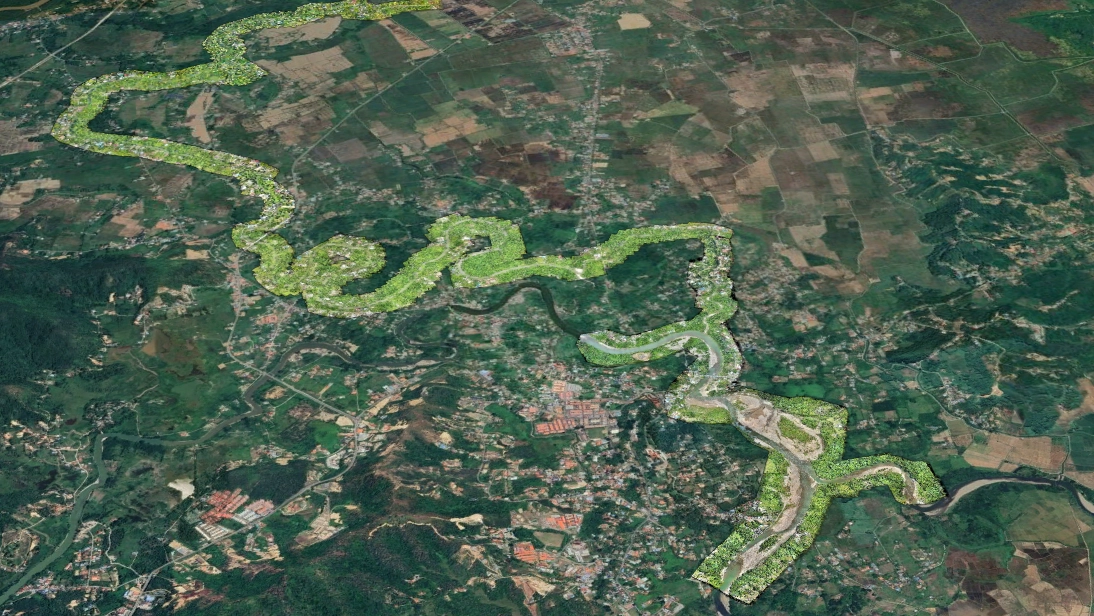
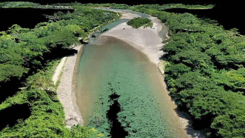
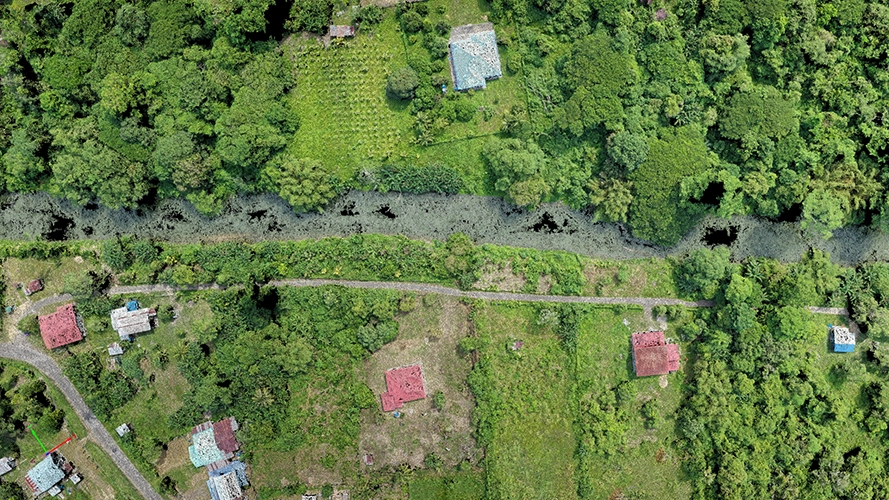
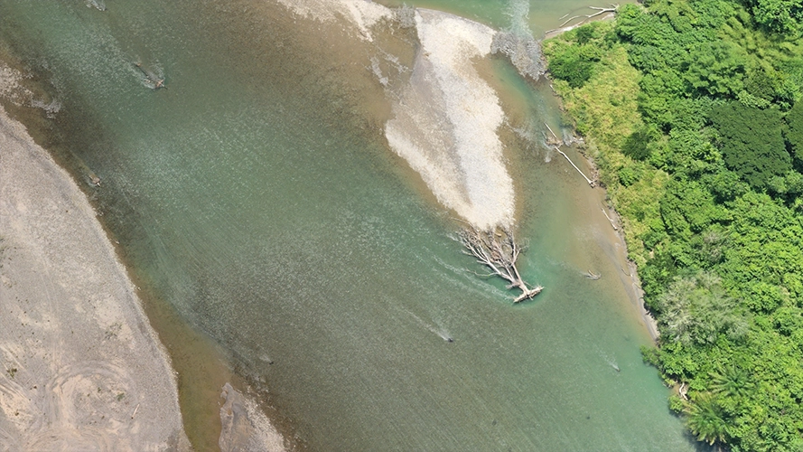
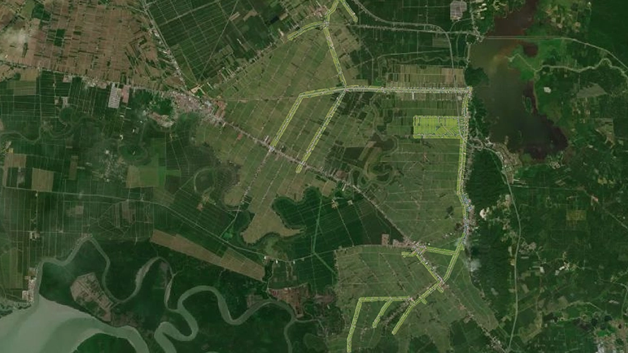
Kota Belud Continuous River Survey
MBOR certified comprehensive river sedimentation study analyzing post-earthquake effects on river conditions, downstream areas, and agricultural irrigation impacts. Advanced mapping deliverables include orthomosaic, DSM, DTM, and 3D mesh with extensive geotagged oblique photography for detailed sediment accumulation analysis, river course correction assessment, and land change monitoring.
Key Insights Derived:
Project Overview
Complete 31km river survey showing sedimentation patterns and infrastructure impact assessment
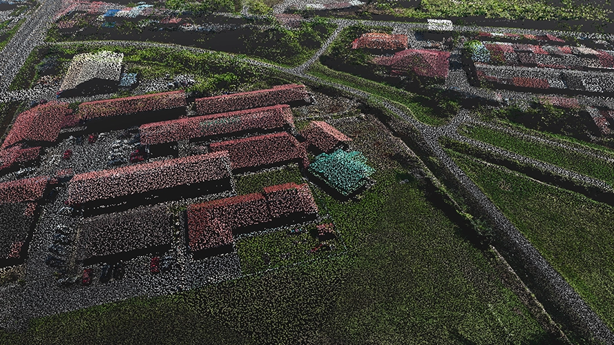
Kerian Canal Systems Mapping
Comprehensive digital mapping project to provide client an updated, geographically accurate map of the entire canal system and its surrounding area, along with geolocation tagging of all major water resource assets in the canal system. This project delivers modern digitized data for documentation and easy integration for future studies, simulations and historical comparisons.
Key Insights Derived:
Project Overview
Comprehensive mapping of 300km canal network with infrastructure documentation
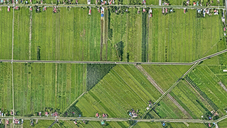
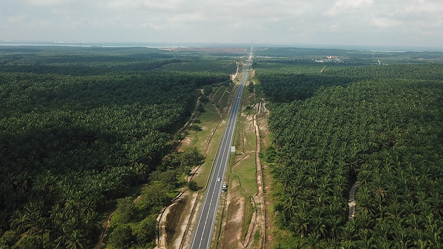
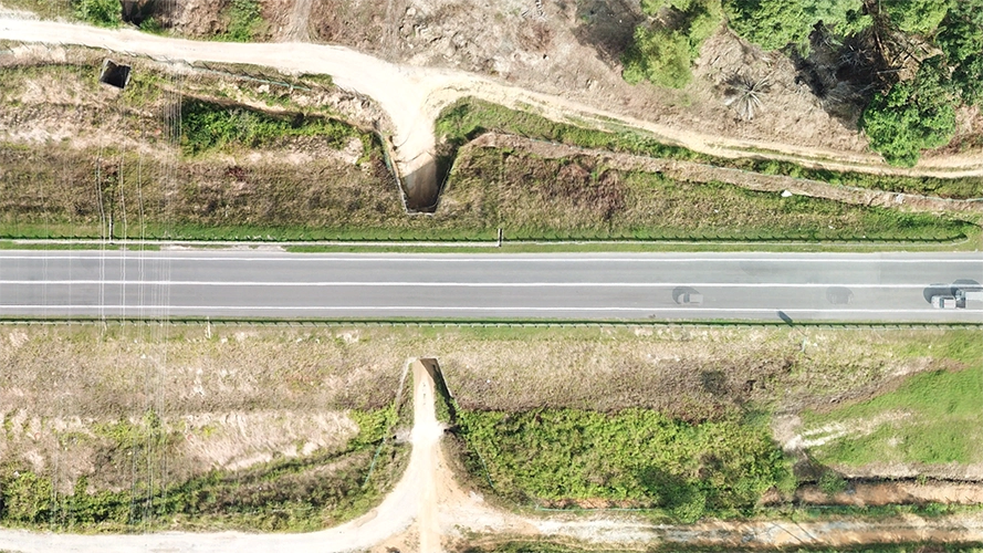
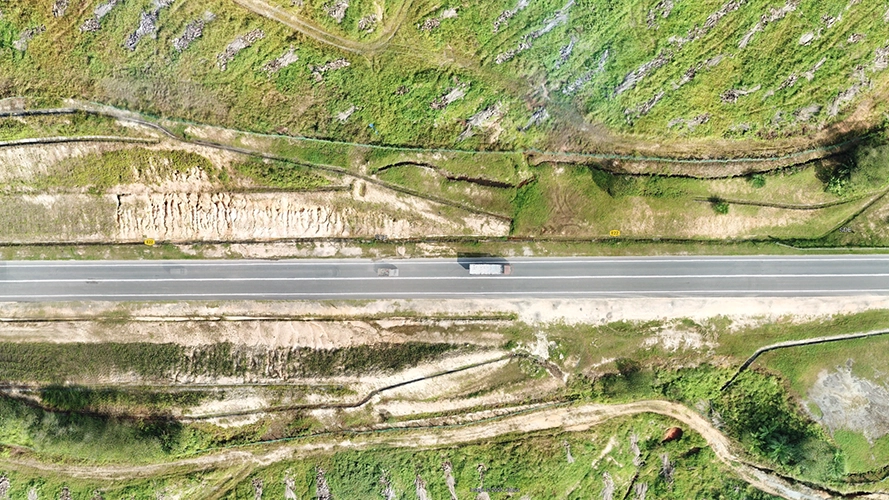
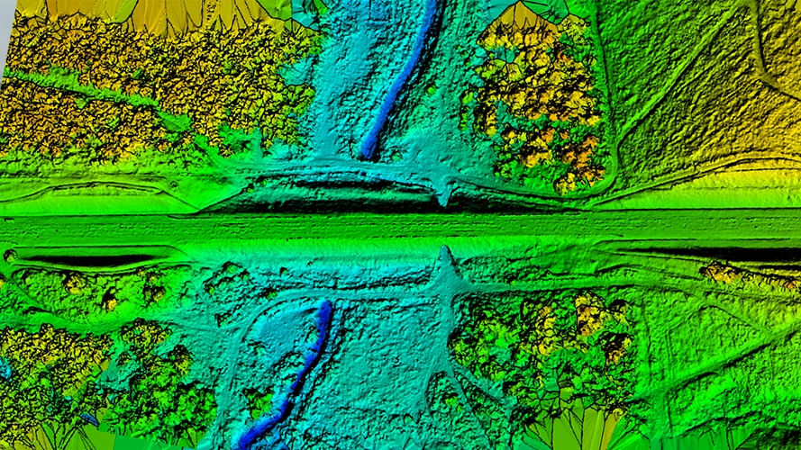
Desaru Highway Expansion Survey
Preliminary survey of the Desaru Highway expansion project from single lane to double lane infrastructure. The goal is to identify potential obstacles, terrain features, and structures within the affected area along the highway corridor to support expansion planning and design optimization.
ROI Benefits Summary:
Geotagged Dataset
Aerial Photography
High-resolution aerial imagery capturing the entire 26km highway corridor for expansion planning
Project Impact & Achievements
Measurable results from our comprehensive drone surveying projects
Record Achievement
Longest continuous river survey certified by Malaysia Book of Records
Certified Operations
Full regulatory compliance with CAAM commercial UAS operations